Data on this site is no longer being updated. For the latest in road traffic stats, plus other road data,
please visit our new site at MABCU - Data for road nerds
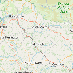
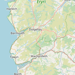
A361 between A3123/B3343 and Chaddiford Lane, Barnstaple, Devon (Grid ref SS500406)
A361 between B3230 and B3343, Devon (Grid ref SS512450)
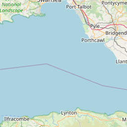
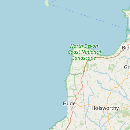
A361 between Chaddiford Lane and A39 Pilton Causeway, Devon (Grid ref SS552337)
A361 between A3125 and A39, Devon (Grid ref SS557321)
A361 between A39 Pilton Causeway and A3125, Devon (Grid ref SS560336)
A361 between A39 and A377, Devon (Grid ref SS563314)
A361 between Alexandra Road and Whiddon Drive, Devon (Grid ref SS570326)
A361 between Whiddon Drive and A39(T), Devon (Grid ref SS576323)
A361 between A39(T) and A399, Devon (Grid ref SS600316)
A361 between A399 and B3227, Devon (Grid ref SS730266)
A361 between B3227 and A396 Bolham Road, Devon (Grid ref SS800229)
A361 between A3126 Bolham Road and A396, Devon (Grid ref SS960141)
A361 between A396 and M5, Devon (Grid ref ST000142)
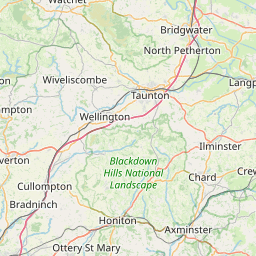
A361 between A38 and A372, Somerset (Grid ref ST300281)
A361 between A372 and A372, Somerset (Grid ref ST385319)
A361 between A372 and A39, Somerset (Grid ref ST400346)
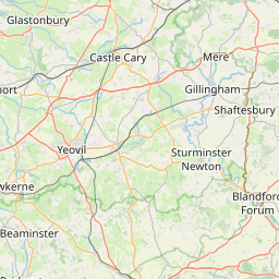
A361 between A39 and A37, Somerset (Grid ref ST574400)
A361 between A37 and B3136, Somerset (Grid ref ST620435)
A361 between A37 and A361 split, Somerset (Grid ref ST628423)
A361 between A361 split and A37, Somerset (Grid ref ST630431)
A361 between A361 split and A359, Somerset (Grid ref ST700436)
A361 between A359 and B3090, Somerset (Grid ref ST753452)
A361 between B3090 and B3092, Somerset (Grid ref ST770455)
A361 between B3092 and A362, Somerset (Grid ref ST784460)
A361 between A362 and B3090, Somerset (Grid ref ST794482)
A361 between A36 and B3109, Somerset (Grid ref ST803525)
A361 between B3090 and A36, Somerset (Grid ref ST803510)
A361 between B3109 and Somerset boundary, Somerset (Grid ref ST813540)
A361 between Wiltshire boundary and Silver Street Lane, Wiltshire (Grid ref ST832550)
A361 between Silver Street Lane and Bradley Road, Wiltshire (Grid ref ST850571)
A361 between A363 Bradley Rd and A363 Bythesea Rd roundabout, Wiltshire (Grid ref ST854573)
A361 between A363 West Trowbridge and B3105, Wiltshire (Grid ref ST861582)
A361 between B3105 and Devizes Rd, Wiltshire (Grid ref ST875585)
A361 between Devizes Rd and A350, Wiltshire (Grid ref ST894600)
A361 between A350 and A365, Wiltshire (Grid ref ST900601)
A361 between A350 and A350, Wiltshire (Grid ref ST900602)
A361 between A350 and A365, Wiltshire (Grid ref ST933605)
A361 between A365 and Mayenne Place, Devizes, Wiltshire (Grid ref ST960614)
A361 between Mayenne Place and A342, Wiltshire (Grid ref ST992614)
A361 between A342 and A360, Wiltshire (Grid ref SU000617)
A361 between A360 and A342, Wiltshire (Grid ref SU005616)
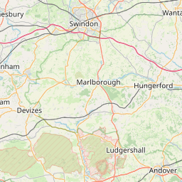
A361 between A342 and Horton Road, Wiltshire (Grid ref SU020628)
A361 between Horton Road and A4, Wiltshire (Grid ref SU083687)
A361 between A419 N and A419 S, Swindon (Grid ref SU176880)
A361 between A361 main route and A419, Swindon (Grid ref SU177880)
A361 between A361 spur and B4141, Swindon (Grid ref SU178885)
A361 between B4141 and B4000, Swindon (Grid ref SU200920)
A361 between B4019 and Swindon boundary, Swindon (Grid ref SU202941)
A361 between Gloucestershire boundary and A417, Gloucestershire (Grid ref SU213994)
A361 between A417 High St and A417 St Johns St, Gloucestershire (Grid ref SU214995)
A361 between A417 and Gloucestershire boundary, Gloucestershire (Grid ref SP216002)
A361 between Oxfordshire boundary and A40, Oxfordshire (Grid ref SP240070)
A361 between A40(T) and A424, Oxfordshire (Grid ref SP251120)
A361 between A424 and A44, Oxfordshire (Grid ref SP293201)
A361 between High St and A44, Oxfordshire (Grid ref SP325281)
A361 between A3400 and B 4022, Oxfordshire (Grid ref SP358300)
A361 between B4022 and B4031, Oxfordshire (Grid ref SP391315)
A361 between B4031 and Waller Drive, Banbury, Oxfordshire (Grid ref SP400327)
A361 between Waller Drive and B4100, Oxfordshire (Grid ref SP450396)
A361 between A422 and Castle St, Oxfordshire (Grid ref SP453412)
A361 between B4100 and B4100, Oxfordshire (Grid ref SP453406)
A361 between Northamptonshire boundary and Northamptonshire boundary, Northamptonshire (Grid ref SP471430)
A361 between M40 and Oxfordshire boundary, Oxfordshire (Grid ref SP472423)
A361 between Oxfordshire boundary and Oxfordshire boundary, Oxfordshire (Grid ref SP483454)
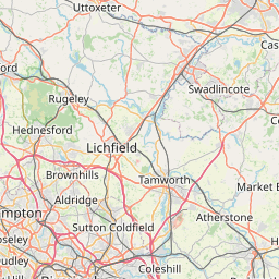
A361 between Northamptonshire boundary and A45, Northamptonshire (Grid ref SP499494)
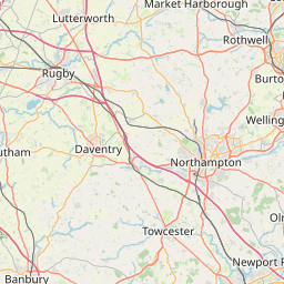
A361 between A45(T) and A425, Northamptonshire (Grid ref SP561640)
A361 between A425 and A5(T), Northamptonshire (Grid ref SP562700)