Data on this site is no longer being updated. For the latest in road traffic stats, plus other road data,
please visit our new site at MABCU - Data for road nerds
A78 between Routenburn Rd, Largs and North Ayrshire boundary, North Ayrshire (Grid ref NS192651)
A78 between Inverclyde boundary and A770, Inverclyde (Grid ref NS199710)
A78 between B7047 Chapelton Road and B7048, North Ayrshire (Grid ref NS200478)
A78 between B7048 and roundabout at Southannan Sands coal terminal, North Ayrshire (Grid ref NS200503)
A78 between B7025 Bath Street and Routenburn Rd, North Ayrshire (Grid ref NS202600)
A78 between A760 and B7025 Bath Street, North Ayrshire (Grid ref NS206590)
A78 between roundabout at Southannan Sands coal terminal and A760, North Ayrshire (Grid ref NS210577)
A78 between Raod to Ardrossan Castle and B7047 Chapelton Road, North Ayrshire (Grid ref NS215450)
A78 between A770 and road to factory site, Inverclyde (Grid ref NS223736)
A78 between A738 and Raod to Ardrossan Castle, North Ayrshire (Grid ref NS230432)
A78 between road to factory site and Flatterton Rd, Braeside, Inverclyde (Grid ref NS232745)
A78 between Flatterton Rd, Braeside and B7054 Dunlop Street, Inverclyde (Grid ref NS246753)
A78 between A738 and A738, North Ayrshire (Grid ref NS250423)
A78 between A738 - Eglinton Road and A738, North Ayrshire (Grid ref NS265435)
A78 between B7054 Dunlop Street and A8/A770, Inverclyde (Grid ref NS267760)
A78 between A738 and A738, North Ayrshire (Grid ref NS280425)
A78 between A737 and A738, North Ayrshire (Grid ref NS283425)
A78 between A737 and A71, North Ayrshire (Grid ref NS331370)
A78 between A71 and A737, North Ayrshire (Grid ref NS332398)
A78 between A759 and B7080, North Ayrshire (Grid ref NS334350)
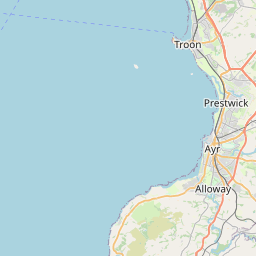
A78 between A759 and LA boundary, South Ayrshire (Grid ref NS337337)
A78 between B746 mid-junction and A759, South Ayrshire (Grid ref NS346320)
A78 between A79 and B746 mid-junction, South Ayrshire (Grid ref NS352300)
A78 between A77 and A79, South Ayrshire (Grid ref NS360287)